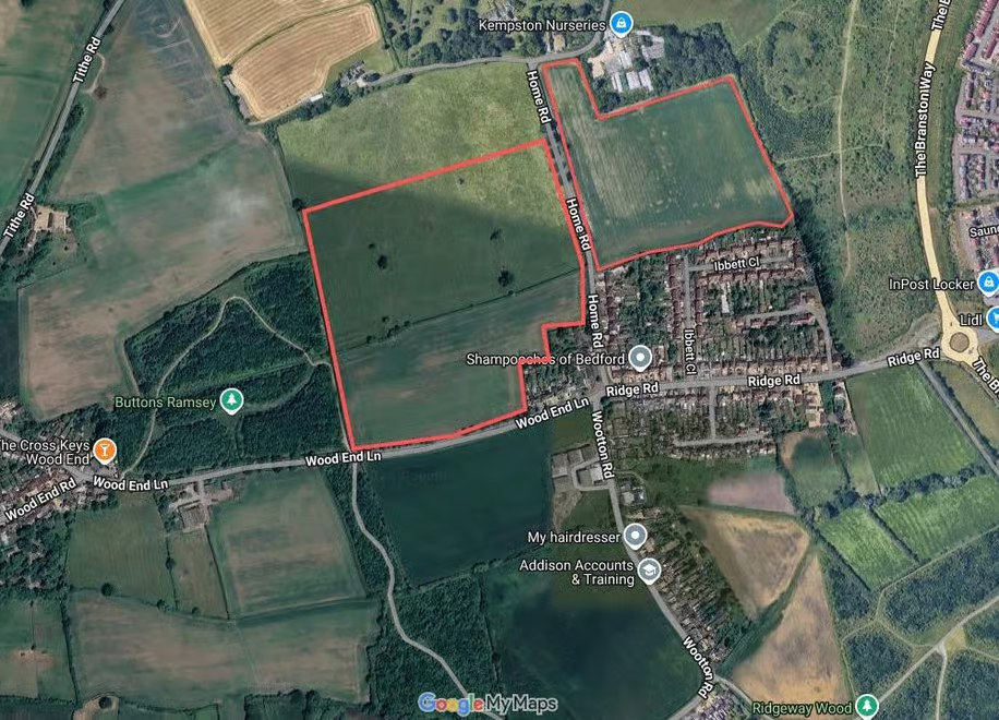
← Back to Home

Planning Concern — Drainage

Flood Risk &
Drainage.

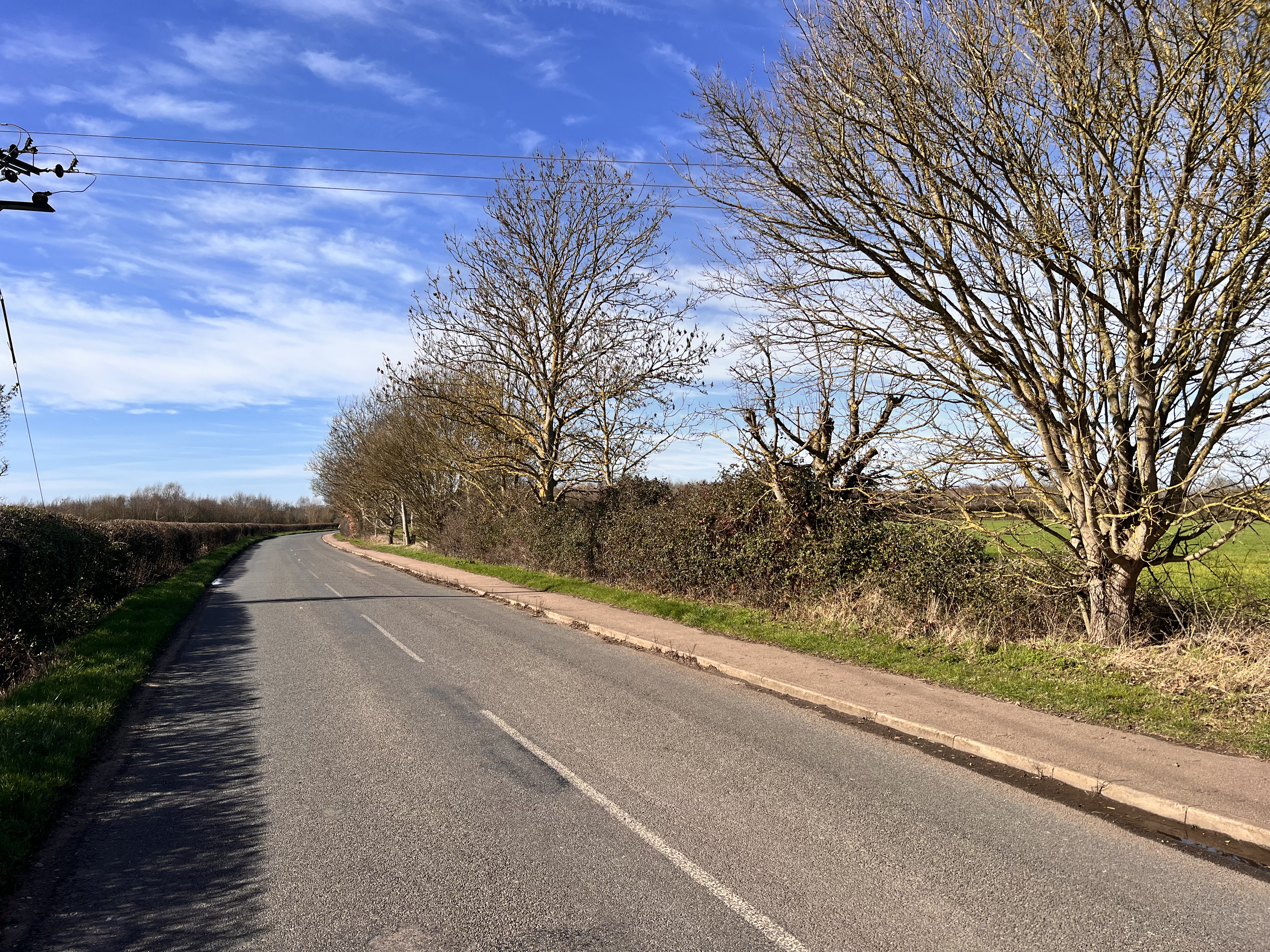
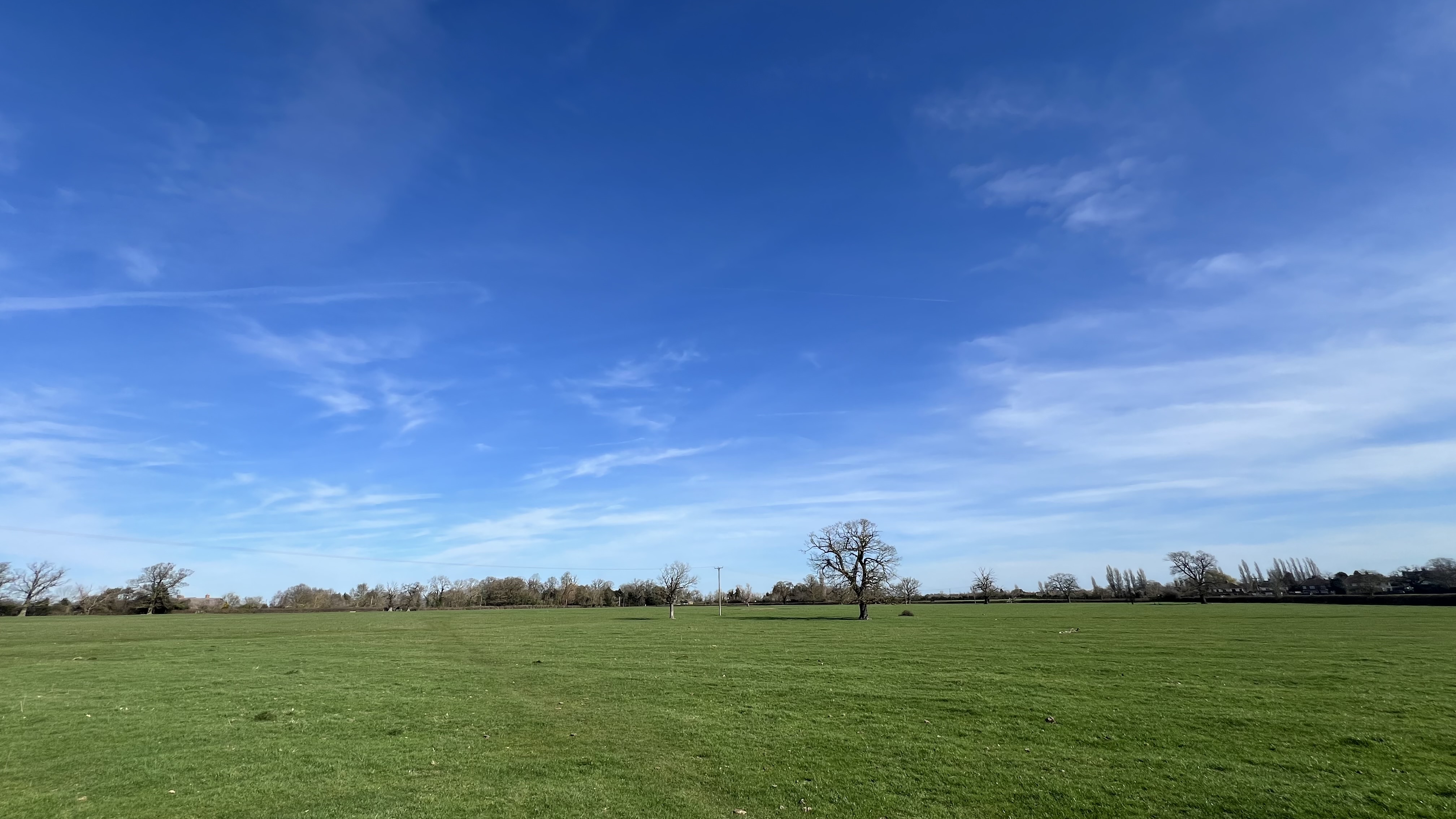
The site is currently highly permeable agricultural land. Replacing it with 420 homes, roads, and hardstanding would vastly increase surface water runoff into a rural drainage system not designed for it. Flood risk must be fully assessed before any decision is made.

The Current Situation

The proposed development site currently functions as natural drainage infrastructure. Open farmland absorbs rainfall gradually, allowing it to percolate into the ground or flow slowly through field ditches and watercourses.

This natural function protects existing homes downstream from sudden surface water surges. Replacing it with impermeable surfaces fundamentally changes the hydrology of the entire area.

What 420 Homes Would Mean

420 homes = hundreds of roofs, driveways, and roads replacing absorbent farmland.

Severe Local Concerns:

  • Rural ditch capacity overwhelmed
  • Downstream flooding to existing homes
  • Standing water on roads after heavy rain
  • Foul sewer capacity unknown
  • Maintenance of proposed SuDS long-term
  • Climate change increasing rainfall intensity

Residents already report standing water along local roads after heavy rain.

The Proposed Site

The highlighted area shows the full extent of the land proposed for development. Every square metre currently acts as natural drainage — absorbing rainwater that would otherwise flow downhill into existing properties and road networks.

420 New Homes
Proposed
0 Flood Risk
Studies Published
Aerial map showing proposed development land — currently acting as natural drainage
Narrow country lane with hedgerows at Kempston Rural

SuDS — Are They Enough?

Developers typically propose Sustainable Drainage Systems (SuDS) — such as ponds, swales, and permeable paving — to manage surface water. But critical questions remain:

  • Who maintains SuDS after the developer leaves?
  • Are they designed for climate-change-adjusted rainfall?
  • Will Anglian Water adopt the foul drainage network?
  • Has the Lead Local Flood Authority been consulted?

The NPPF requires that development does not increase flood risk elsewhere. The burden of proof is on the applicant — and this has not been met.

Climate Change & Future Risk

The UK Climate Projections indicate that winter rainfall is increasing, with more frequent intense storms. Building 420 homes on what is currently a natural sponge creates risk not just now — but for decades to come.

Planning decisions made today must account for tomorrow's climate. A drainage strategy that works in 2026 may be wholly inadequate by 2050.

Demand proper flood risk assessment.

Flood risk is a material planning consideration. Register your interest and ensure the council requires a comprehensive drainage strategy before any decision is made.