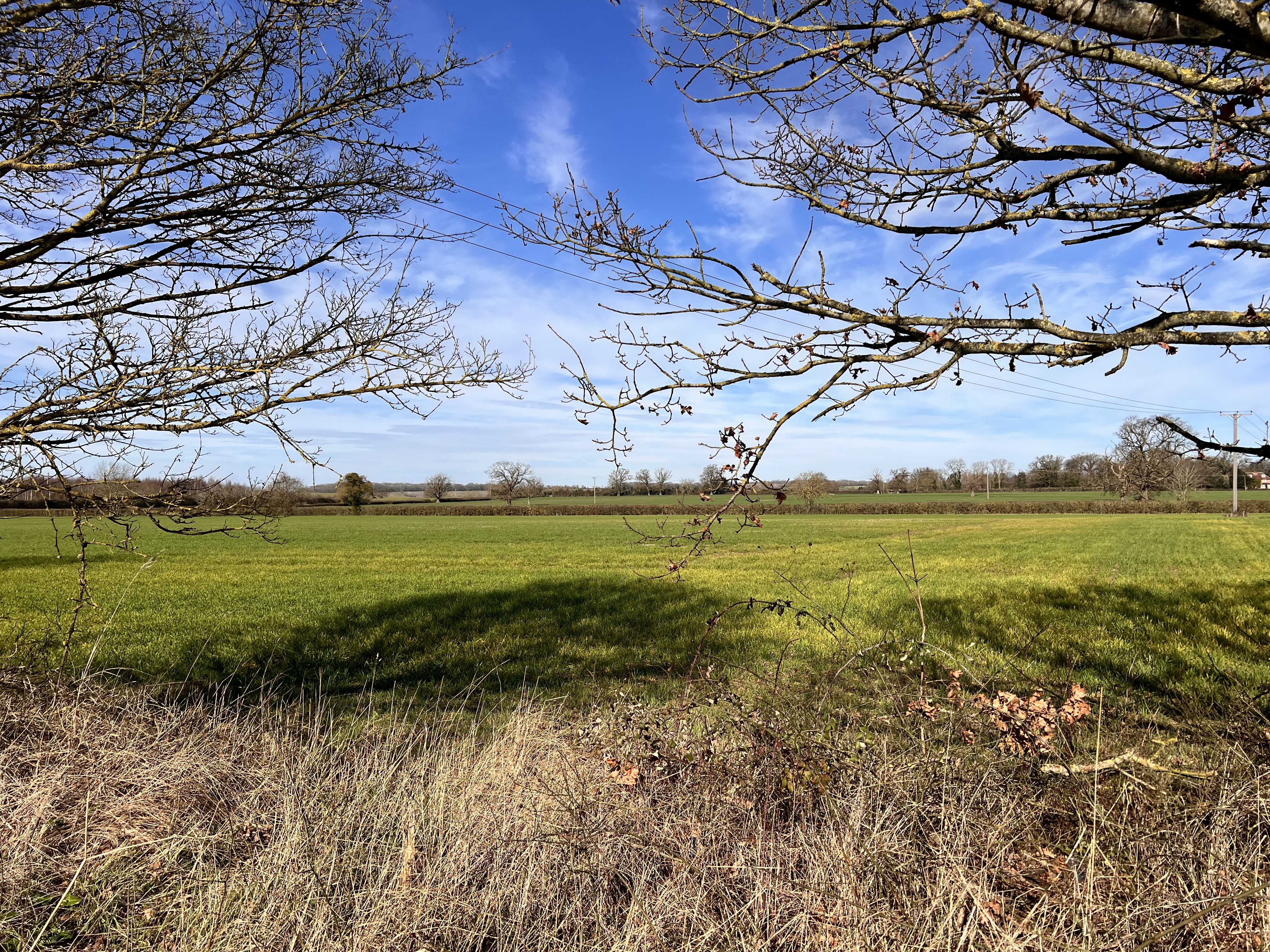
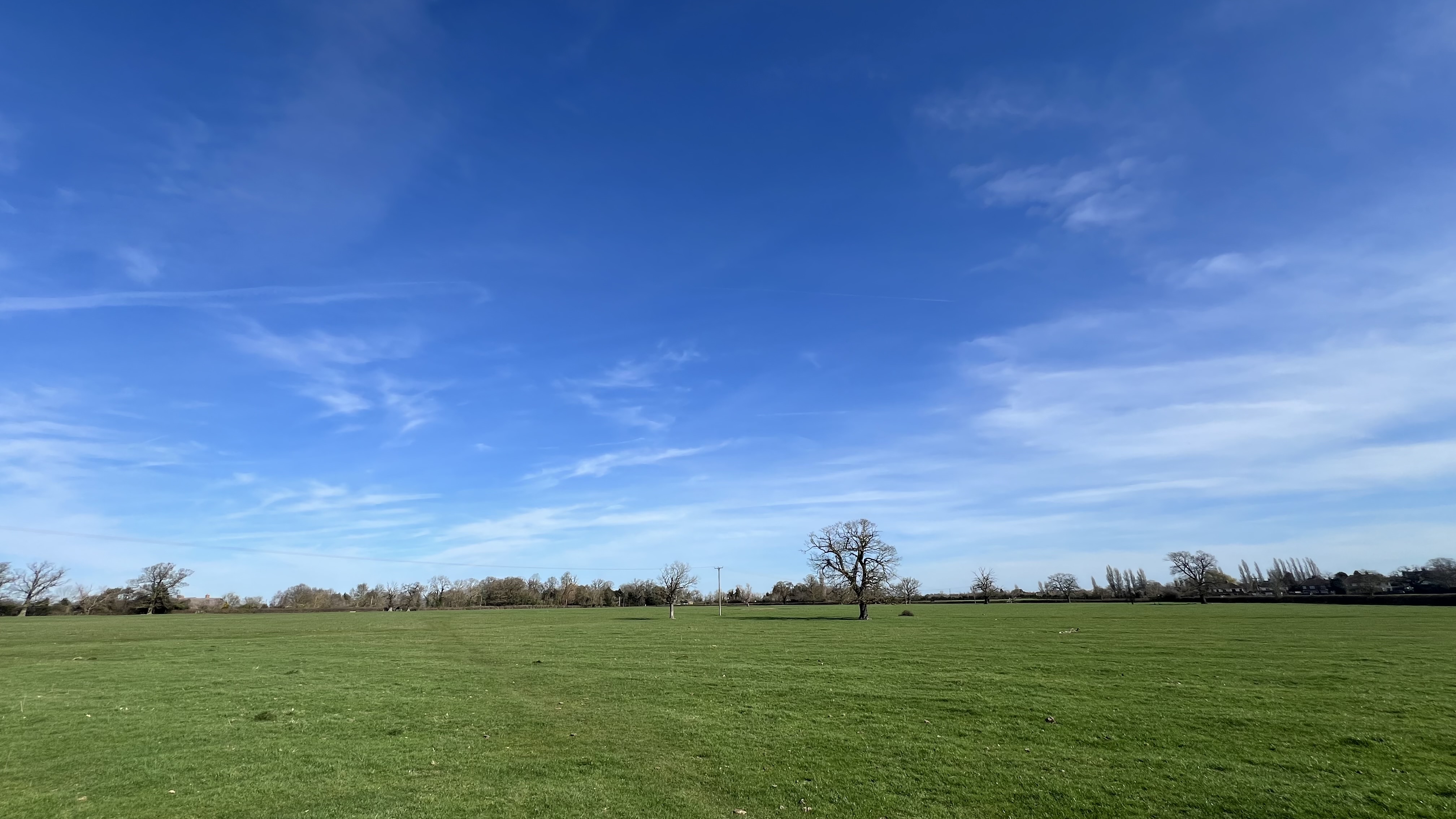
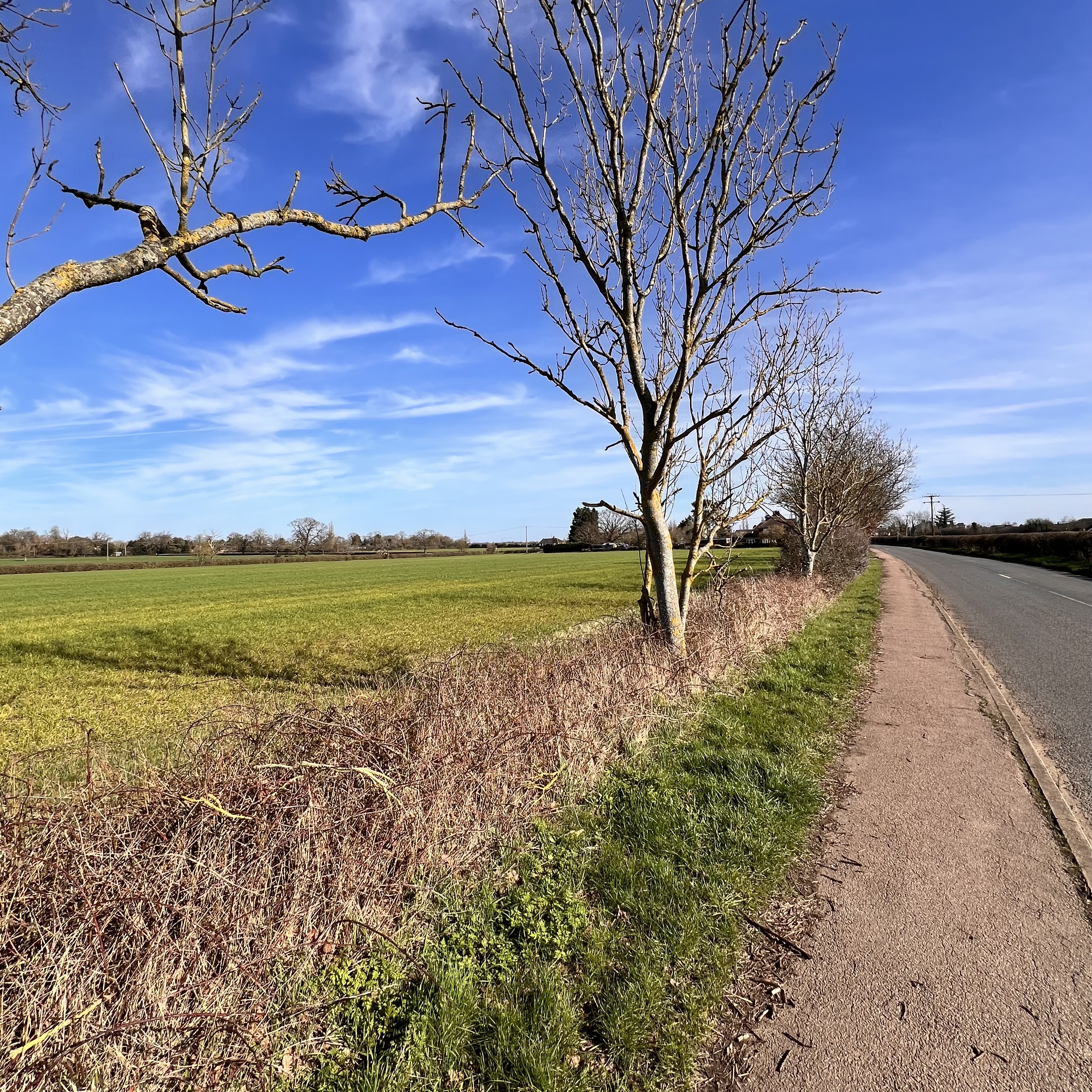
About the Site
The proposed development site currently comprises open agricultural land that serves multiple critical functions for the Kempston Rural community and local ecology:
- • Open agricultural fields — currently in active or recent agricultural use
- • Hedgerows and field boundaries — important wildlife corridors
- • Permeable farmland — providing natural drainage and flood attenuation
- • Green buffer land — maintaining visual separation between housing clusters
What Would Be Lost
Development of this site would permanently and irreversibly remove:
- ✕ Open countryside and agricultural land
- ✕ The green buffer between housing clusters
- ✕ The rural approach and character of Kempston Rural
- ✕ Natural drainage capacity (replaced by hardstanding)
- ✕ Wildlife habitats and ecological corridors
Greenfield vs Brownfield
National planning policy encourages the use of previously developed (brownfield) land before greenfield sites. This site is undeveloped agricultural countryside — not previously built on, not urban edge, and not surplus land.
Its loss would be permanent and irreversible. There is no mitigation that restores agricultural land or a rural green buffer once it is built over.
Access & Connectivity
The site's location off Green End Road and Wood End Lane means all traffic would funnel through Gibraltar Corner — a constrained rural crossroads entirely unsuited to estate-scale traffic volumes.
There are limited opportunities for alternative access without significant urbanisation of the surrounding rural road network, which would cause its own material harm.
Environmental Considerations
The site requires thorough independent assessment of each of the following before any decision is made:
- • Flood risk and surface water drainage capacity
- • Ecological surveys and Biodiversity Net Gain
- • Landscape and visual impact assessment
- • Agricultural land classification
- • Heritage and archaeological potential
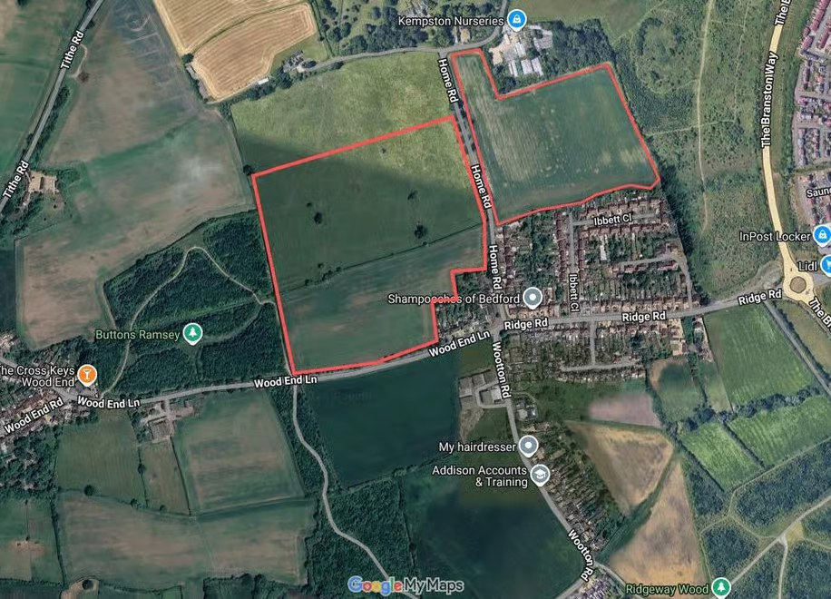
The Full Site Footprint
The highlighted area shows the entire proposed development footprint off Green End Road and Wood End Lane. This is open agricultural countryside — not brownfield, not infill, not previously developed land.
Two applications have been submitted and refused. We must remain ready.