A Decade of Growth in Wootton
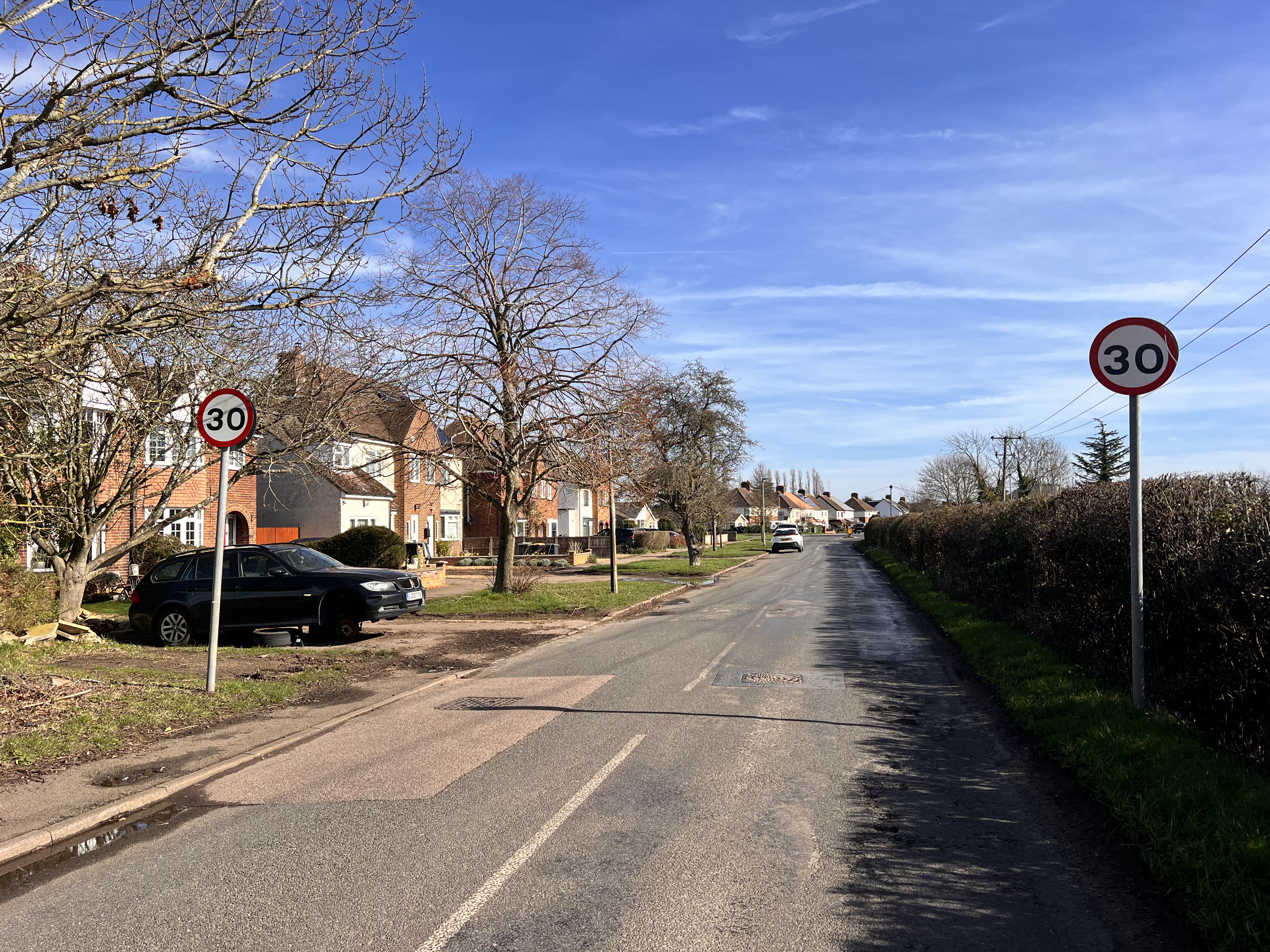
Wootton has absorbed significant housing development over recent years, with multiple large estates fundamentally changing the character and scale of what was once a distinct Bedfordshire village.
This expansion has placed increasing pressure on:
- • Local road networks and key junctions
- • GP surgeries and healthcare provision
- • School places at primary and secondary level
- • Recreational and green spaces
- • Local drainage infrastructure
The Kempston Bypass Corridor
Extensive housing development has also occurred along the Kempston bypass corridor, further increasing traffic volumes and infrastructure demand. The bypass — designed to ease through-traffic — has effectively become a catalyst for estate-scale expansion.
This corridor has already absorbed far more than its fair share of Bedford Borough's housing growth. Each new application must acknowledge that reality.
Why Cumulative Impact Matters
Planning decisions must consider the cumulative effect of development — not treat each application in isolation. The combined impact of:
- • Growth in Wootton over the past decade
- • Multiple developments along the Kempston bypass
- • The proposed 420-home scheme at Kempston Rural
…would represent a transformative level of change for this part of Bedfordshire. Infrastructure, highways, and services are already under strain.
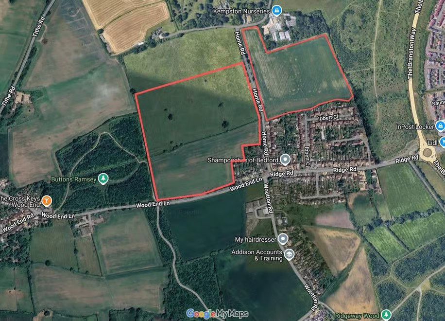
Connection to Gibraltar Corner
Ridge Road provides a direct link between the proposed Kempston Rural development site and Wootton via the bypass. All traffic generated by 420 new homes would ultimately feed through Gibraltar Corner and connect to this already-pressured corridor.
Two pressure points — Gibraltar Corner and the Wootton corridor — converge at precisely the point where this development would generate its greatest impact.
The Proposed Site
The highlighted area shows the development land at Kempston Rural. Via Ridge Road, this site connects directly to Wootton and the bypass corridor — adding further pressure to an already strained network.